Technology
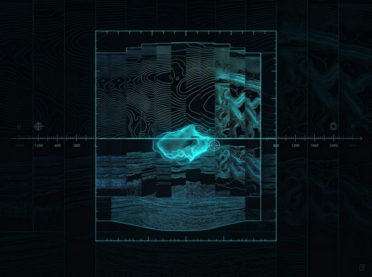
The 4D Framework
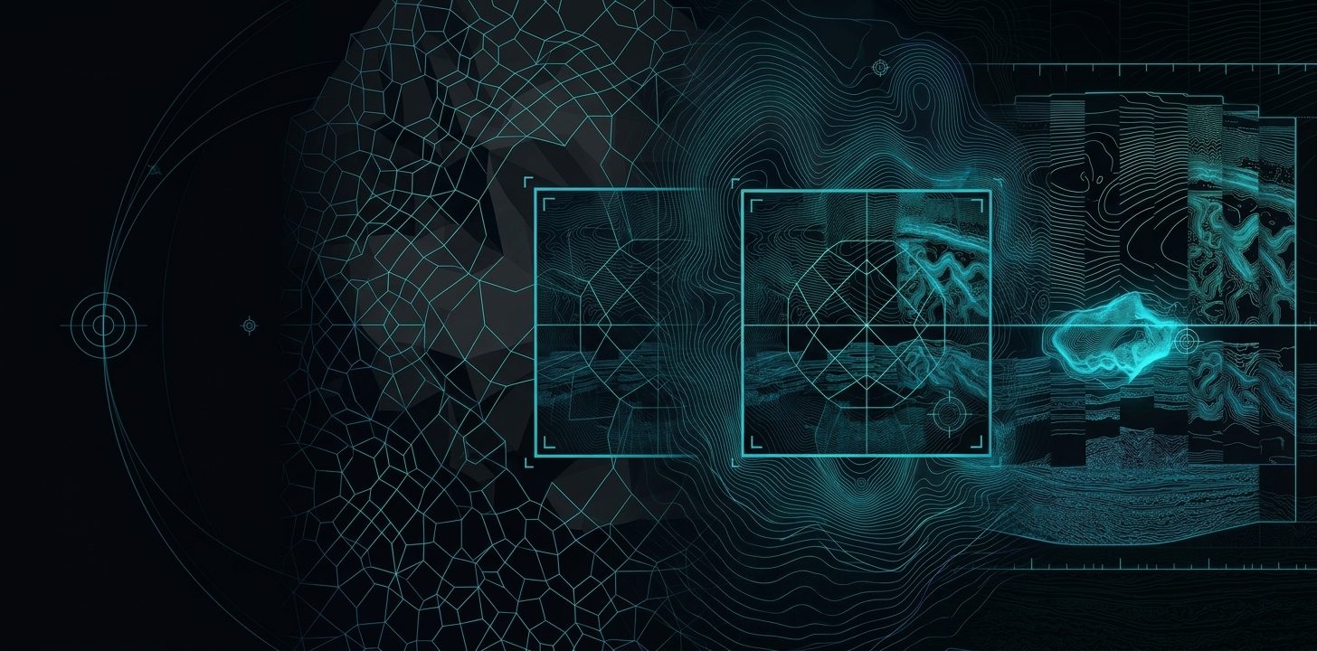
Satellite radar lets us observe how the Earth behaves across multiple dimensions. We organize that capability into four: what we observe, where, when, and how deep.
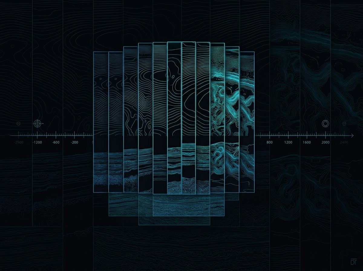
Time
Earth-observation satellites continuously collect radar data over the same areas, building long-term historical archives.
Jump ↓Space
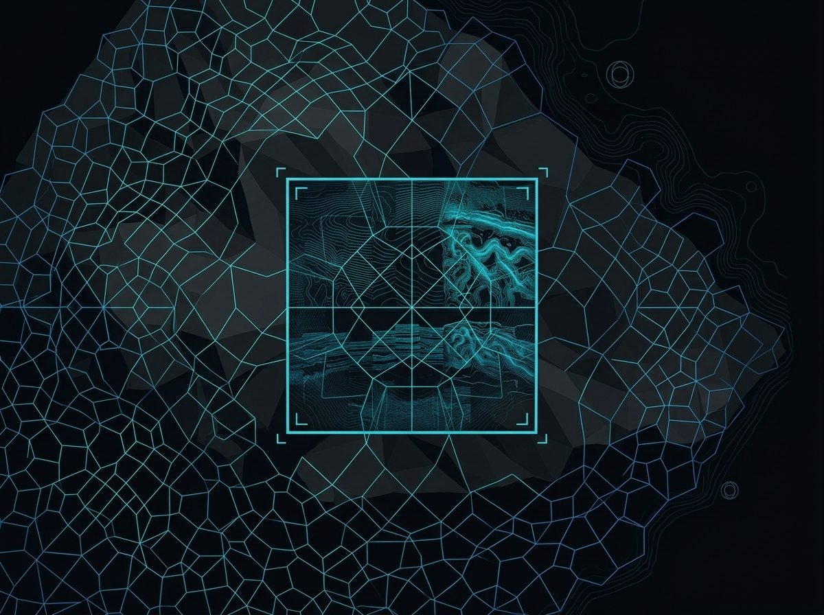
Satellite radar systematically scans vast portions of the planet across predefined geographic grids.
Jump ↓Surface
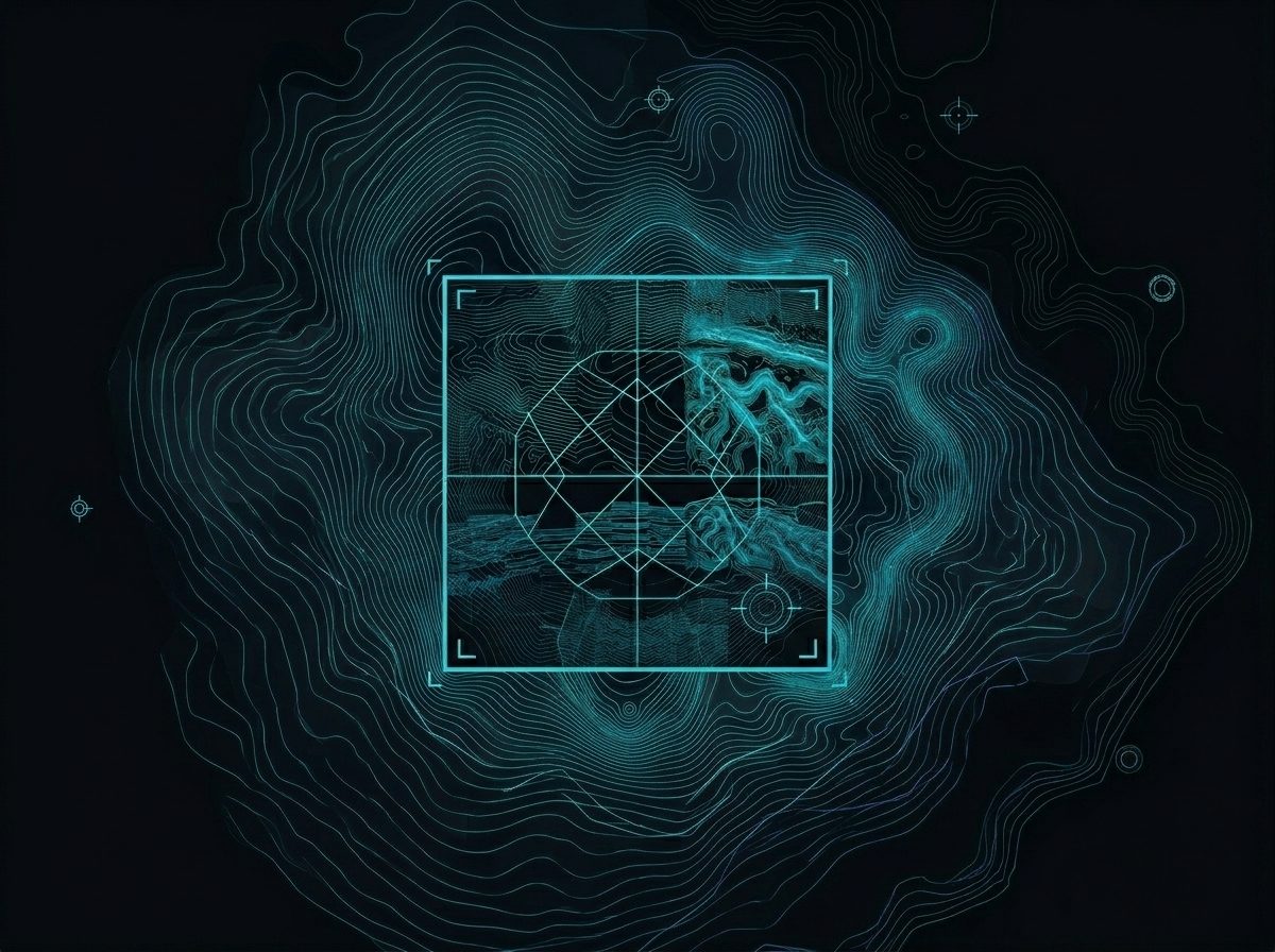
Surface analysis detects and measures movement of the Earth’s surface.
Jump ↓Subsurface
Subsurface analysis interprets what lies below, without drilling, sensors, or invasive operations.
Jump ↓01 · Time
A satellite-based time machine
Earth-observation satellites continuously collect radar data over the same areas, building long-term historical archives. We choose exactly when an analysis happens, observing current conditions or investigating how an area behaved years or decades ago.
- Changes that occurred gradually over time
- Past events that left physical traces
- Long-term trends invisible to short observation
02 · Space
Defining where to look
Satellite radar systematically scans vast portions of the planet across predefined geographic grids. We select areas of interest, from localized zones to entire regions, using existing coverage, with nothing deployed on the ground.
- Rapid analysis of remote or inaccessible areas
- Consistent observation across large territories
- Repeatable studies over the same location
03 · Surface
Measuring change at ground level
Surface analysis detects and measures movement of the Earth’s surface. We use PSInSAR (Persistent Scatterer InSAR) to measure millimetric displacement by comparing radar phase across many satellite passes.
- Ground subsidence and uplift
- Infrastructure stability
- Landslides and slope movement
PSInSAR is strictly a surface technology, it does not describe subsurface composition.
04 · Subsurface
Seeing beneath the surface
Subsurface analysis interprets what lies below, without drilling, sensors, or invasive operations. We use Harmonic PolSAR, a physics-based method combining harmonic signal decomposition with polarimetric radar analysis.
- Material properties
- Structural discontinuities
- Presence of fluids
Harmonic PolSAR answers a different question: what lies beneath, and how is it physically structured?
Deep dive
The physics of Harmonic PolSAR
For the signal-processing foundations behind subsurface interpretation, from conventional SAR to Harmonic PolSAR, read the full technical evolution.